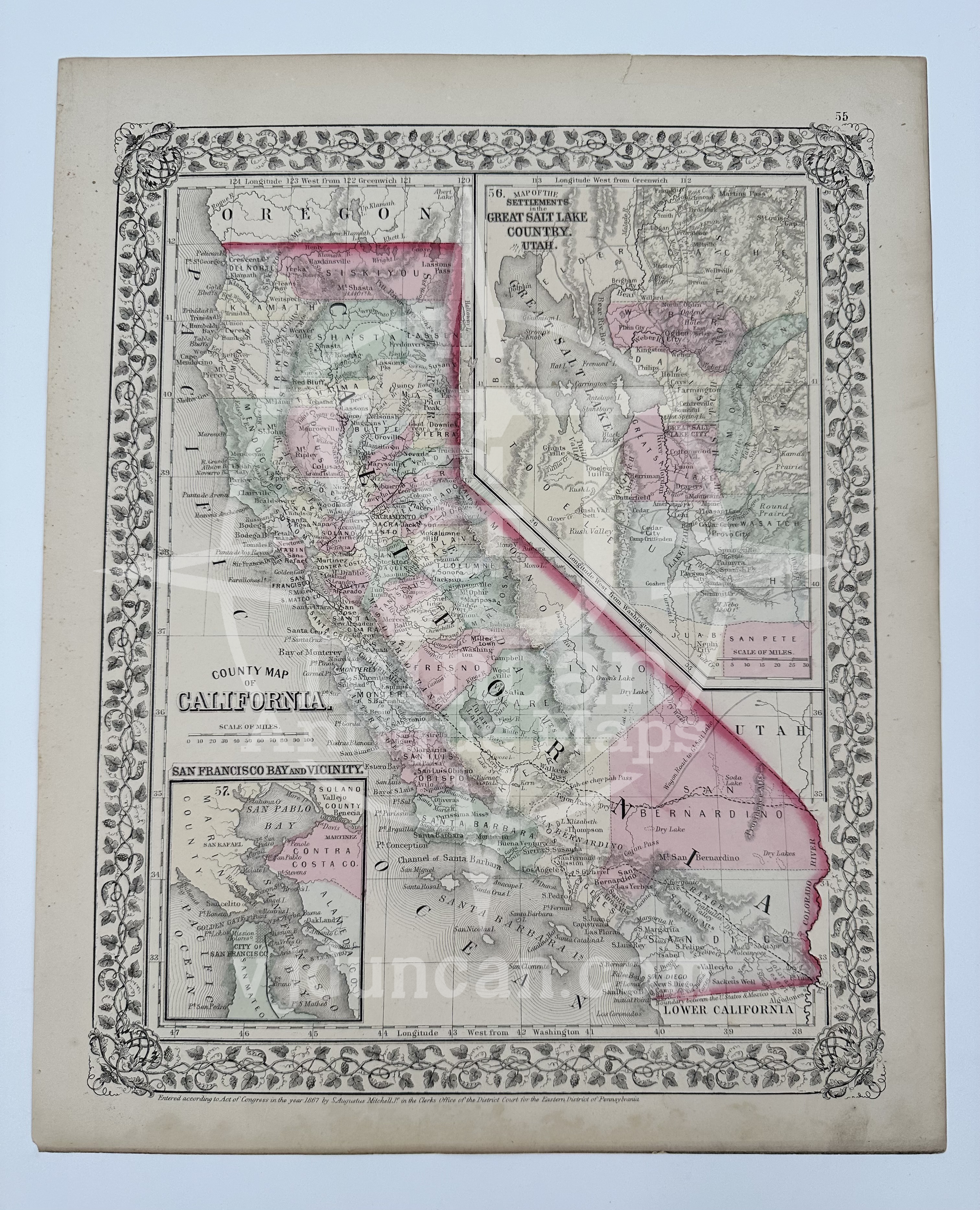
S. Augustus Mitchell's 1867 County Map of California with Inset of San Francisco and Utah Settlements
S. AUGUSTUS MITCHELL, JR. “COUNTY MAP OF CALIFORNIA” 1867 Map of California
Original lithograph with original hand color map of “County Map of California”, from Mitchell's New General Atlas: Containing Maps Of The Various Countries Of The World, Plans Of Cities, etc.
Published in Pennsylvania. Entered into the Library of Congress in 1867 by S. Augustus Mitchell, Jr.
This page is approximately 12.25”L x 15.25”W. This map is not “new” or in “new” condition, this map is an antique map and is in phenomenal condition for its age. Edges show signs of aging and some very light wear, other wise in perfect condition, ready for framing!
The map pictured is the one that you will receive.
Dissatisfied with the resources out there for teachers, Samuel Augustus Mitchell, born in Connecticut in 1792, became a cartographer in order to provide more updated and accurate maps for educators. He began publishing road maps, atlases, and wall maps in 1832 after moving to Philadelphia. From there the company put out twenty four works, all of which sold thousands of copies annually. In 1860 his son, Samuel Augustus Mitchell Jr, took over the company, and continued the business even after his father’s death in 1868, long into the 1890s.
All items listed are from V&J Duncan in Savannah, GA. The shop began in 1983 with one tabletop of antique maps and has grown into a vast collection of old engravings, mezzotints, lithographs, photographs, old books, and antique prints. We have prints of architectural interest, birds, animals, botanicals, fashion, sporting scenes and tens of thousands of portraits. Our inventory also includes views and maps of Savannah and other cities, all U.S. states and most countries of the world. Visit us in Savannah, Georgia, or shop inventory here online.
All prints are rolled and shipped in a poster tube. Smaller prints will be shipped in a rigid media mail folder.


