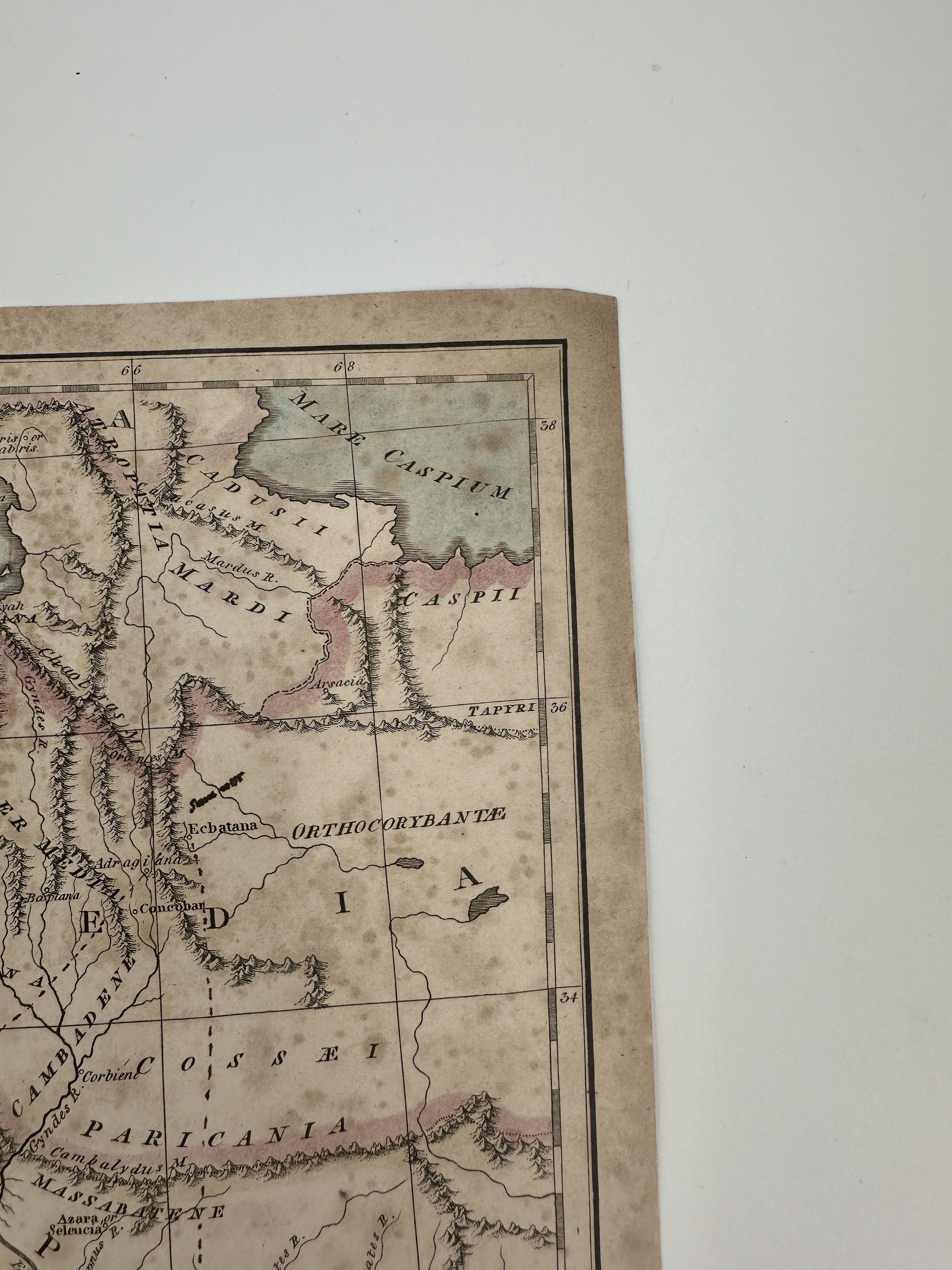
Franz Ludwig Güssefeld 1804 Map of Nord America ( North America ) with MODERN HAND COLOR
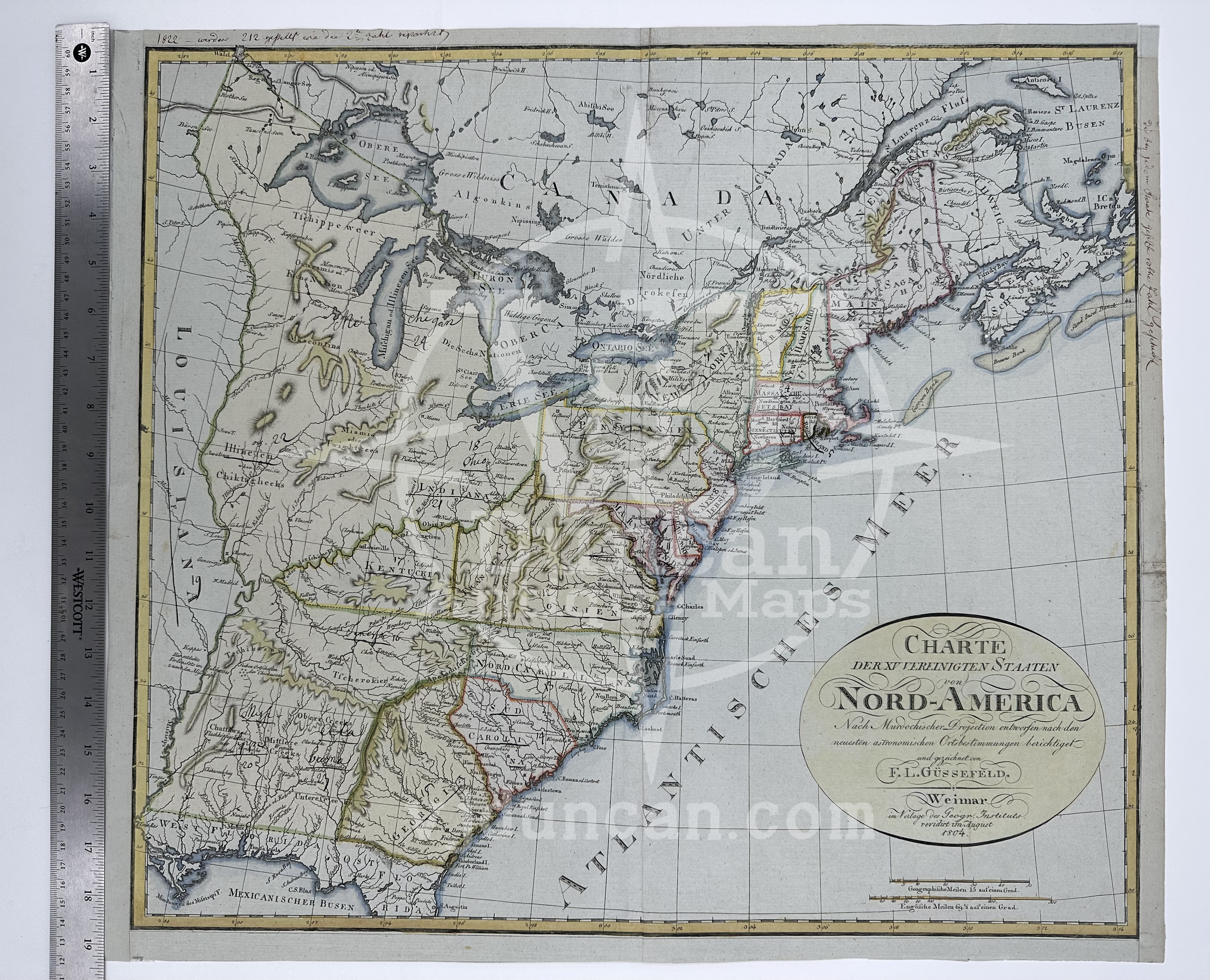
Franz Ludwig Güssefeld 1804 Copper Engraving Map of Nord America ( North America ) with MODERN HAND COLOR
Map by Franz Ludwig Güssefeld
Published by Geographical Insitute of Weimar, Germany. August 1804.
Hand Colored by Historian and Professor John Duncan ( 1938-2022 )
THIS MAP IS A MODERN HAND COLOR. THE PAGE IS ORIGINAL TO THE 1800S.
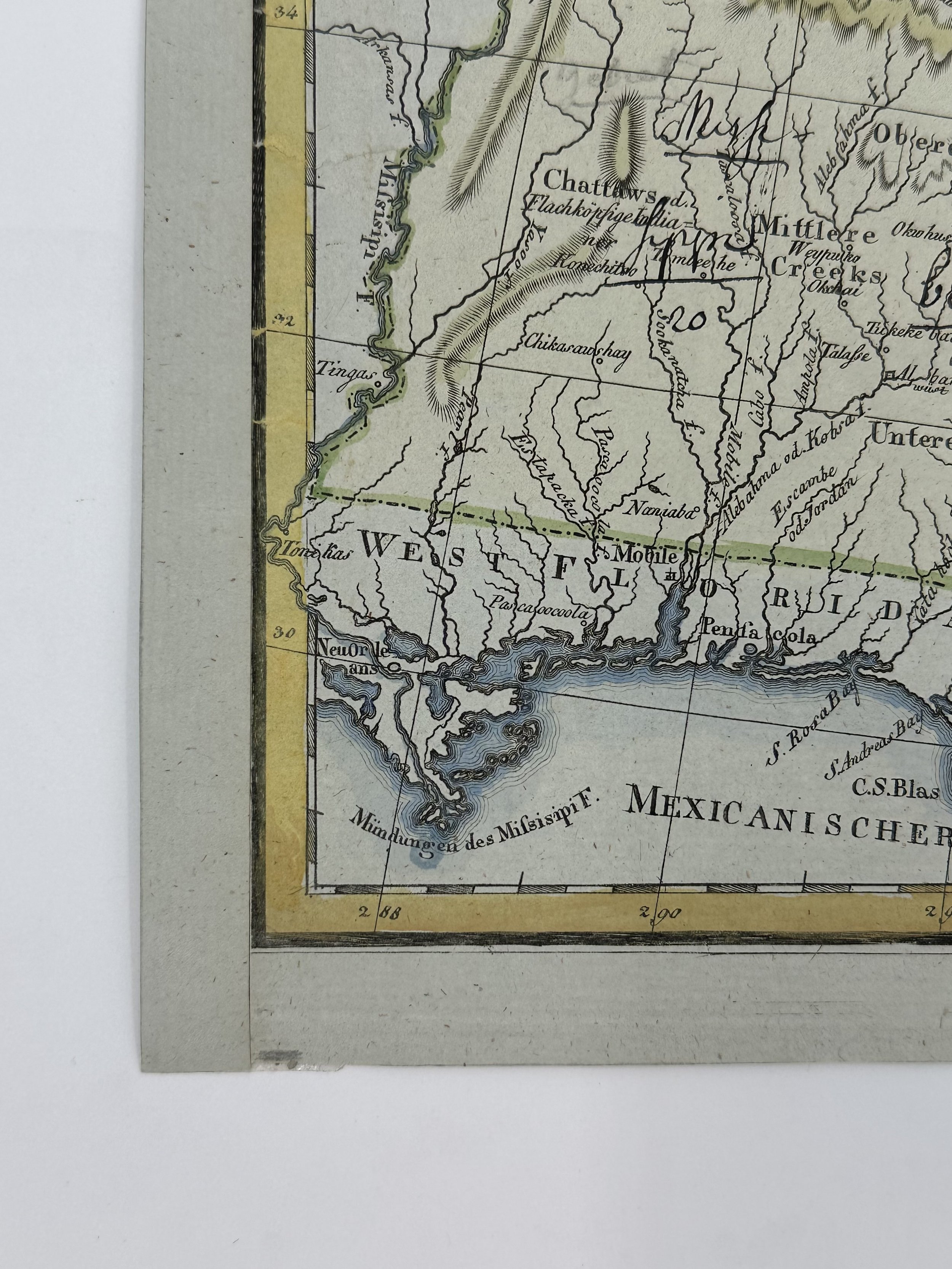
This map is not “new” or in “new condition.” This is an antique map and the age will be reflected in the condition and quality of the page. It was printed in 1804 and is in fair condition The full page is approx. 21 3/4”L x 19 1/4”W and the piece itself is mostly clear. There is some writing in ink on the map itself, and the right hand margin has been trimmed down and repaired at one point. The map also has a crease down the middle, and sports some light discoloration. This map is unique for its showcase of a early proposed state between incorrectly placed between Kentucky and Virginia, also known as Franklin (Modern Day Northeast Tennessee).
The price has been adjusted for the condition.
The map pictured is the one that you will receive.
Güssefeld was born December 6th, 1744 in Osterburg, Germany. From a young age he expressed an interest in mapmaking and drawing, though following a rejection from the Prussian Corps of Engineers, he instead turned to forestry. Additionally he would work as a surveyor and eventually an engineer as well. His most notable accomplishment was that of the 1783 map of Brandenburg, the first of many maps to be published by once successful publisher Homann Heirs. Güssefeld’s maps were so high quality that the company, struggling under mismanagement, was saved with his work. Hormann Heirs would publish upwards of a hundred of Güssefeld’s maps, though during the last eighteen years of his life he would also go to the Geographical Institute of Weimar to publish some of his maps as well. Güssefeld died in Weimar, Germany on June 17th, 1807, at the age of 62. He married, but it is unknown if he had any children.
All items listed are from V&J Duncan in Savannah, GA. The shop began in 1983 with one tabletop of antique maps and has grown into a vast collection of old engravings, mezzotints, lithographs, photographs, old books, and antique prints. We have prints of architectural interest, birds, animals, botanicals, fashion, sporting scenes and tens of thousands of portraits. Our inventory also includes views and maps of Savannah and other cities, all U.S. states and most countries of the world. Visit us in Savannah, Georgia, or shop inventory here online.
All prints are rolled and shipped in a poster tube. Smaller prints will be shipped in a rigid media mail folder.
Franz Ludwig Güssefeld 1804 Copper Engraving Map of Nord America ( North America ) with MODERN HAND COLOR
Map by Franz Ludwig Güssefeld
Published by Geographical Insitute of Weimar, Germany. August 1804.
Hand Colored by Historian and Professor John Duncan ( 1938-2022 )
THIS MAP IS A MODERN HAND COLOR. THE PAGE IS ORIGINAL TO THE 1800S.
This map is not “new” or in “new condition.” This is an antique map and the age will be reflected in the condition and quality of the page. It was printed in 1804 and is in fair condition The full page is approx. 21 3/4”L x 19 1/4”W and the piece itself is mostly clear. There is some writing in ink on the map itself, and the right hand margin has been trimmed down and repaired at one point. The map also has a crease down the middle, and sports some light discoloration. This map is unique for its showcase of a early proposed state between incorrectly placed between Kentucky and Virginia, also known as Franklin (Modern Day Northeast Tennessee).
The price has been adjusted for the condition.
The map pictured is the one that you will receive.
Güssefeld was born December 6th, 1744 in Osterburg, Germany. From a young age he expressed an interest in mapmaking and drawing, though following a rejection from the Prussian Corps of Engineers, he instead turned to forestry. Additionally he would work as a surveyor and eventually an engineer as well. His most notable accomplishment was that of the 1783 map of Brandenburg, the first of many maps to be published by once successful publisher Homann Heirs. Güssefeld’s maps were so high quality that the company, struggling under mismanagement, was saved with his work. Hormann Heirs would publish upwards of a hundred of Güssefeld’s maps, though during the last eighteen years of his life he would also go to the Geographical Institute of Weimar to publish some of his maps as well. Güssefeld died in Weimar, Germany on June 17th, 1807, at the age of 62. He married, but it is unknown if he had any children.
All items listed are from V&J Duncan in Savannah, GA. The shop began in 1983 with one tabletop of antique maps and has grown into a vast collection of old engravings, mezzotints, lithographs, photographs, old books, and antique prints. We have prints of architectural interest, birds, animals, botanicals, fashion, sporting scenes and tens of thousands of portraits. Our inventory also includes views and maps of Savannah and other cities, all U.S. states and most countries of the world. Visit us in Savannah, Georgia, or shop inventory here online.


